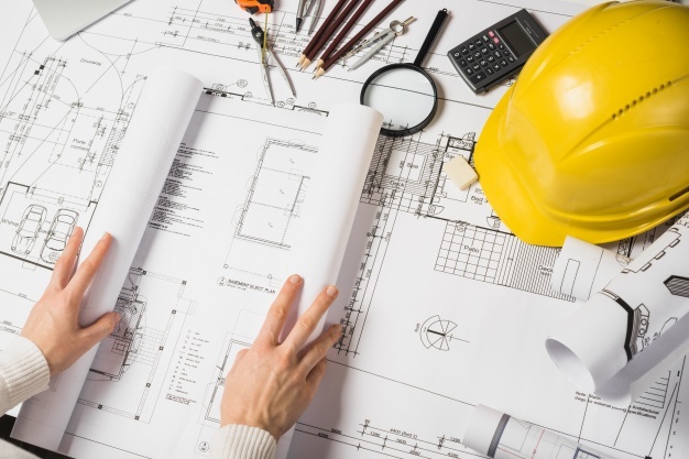
from concept to creation
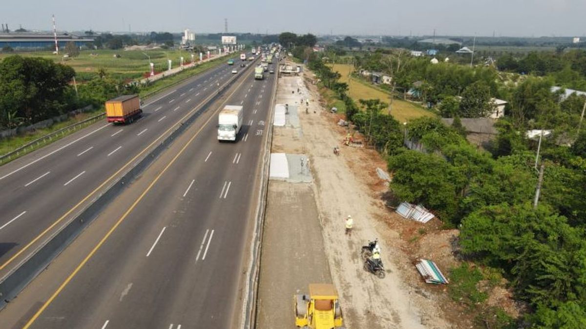
We has contributed in strategic infrastructure planning in Indonesia. The planning process involving multi discipline experts and large area, have created our project planning become mater piece in each areas.
get started+62-811-2222-104
+62-813-1094-6588
office@gamma-sc.com
Bandung, Indonesia - 40286
Suported by competent experts in their discipline, we has contributed in strategic infrastructure planning in indonesia. The planning process involving multi discipline experts and large area, have created our project planning become mater piece in each areas.
read more
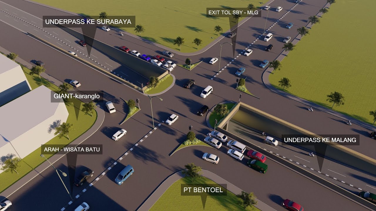
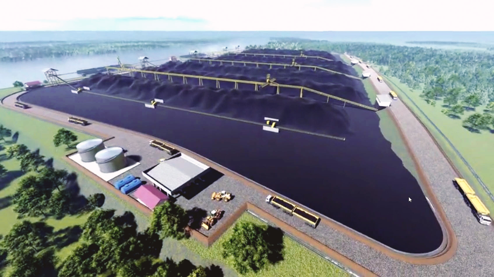
Infrastructure Planning is the process of planning, developing, and managing infrastructure systems required to support community needs, such as roads, bridges, water networks, drainage, and other public facilities. This service involves analyzing the infrastructure needs required to support the growth and development of a community, and selecting the best solutions to achieve them.
Geotechnical Design is the process of designing and engineering geotechnical systems, such as foundations, slopes, and earthworks, to ensure their stability and safety. It is aimed at helping clients design geotechnical systems that are safe, cost-effective, and sustainable.

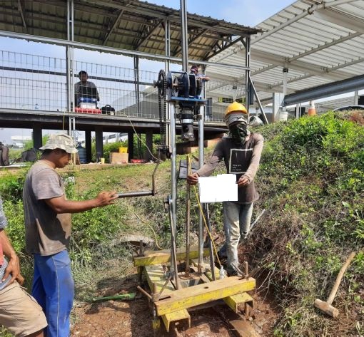
Geotechnical Survey is the process of collecting and analyzing data on the geotechnical characteristics of a site, such as soil and rock properties, to assess their suitability for a particular project. It is aimed at helping clients understand the geotechnical characteristics of a site and make informed decisions about its use and development.

Drafting Service is the process of creating detailed technical drawings and plans, such as architectural, structural, and mechanical drawings, to communicate design concepts and specifications. This service involves using computer-aided design (CAD) software to create accurate and visually appealing drawings, and working with clients to ensure that the final product meets their needs and expectations.

Geophysical Survey is the process of collecting and analyzing data on the physical properties of the earth, such as its composition and structure, using various geophysical techniques.

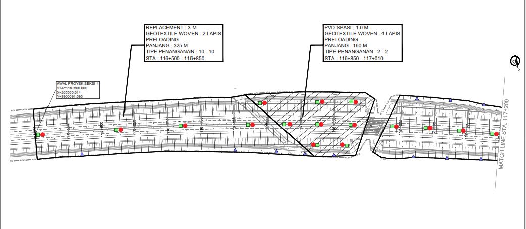
Topographical Survey is the process of collecting and analyzing data on the features and contours of a site, such as its elevations, slopes, and vegetation, to create a detailed map of the area. This service involves using specialized equipment to measure and record the topographical features of a site, and creating a map that accurately represents these features.

This service involves analyzing the technical and operational requirements of a project, and developing detailed design plans that meet these requirements. It is aimed at helping clients design systems and projects that are safe, efficient, and meet the needs of their users.
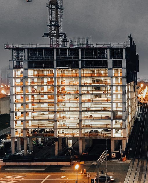
Structural Design is the process of designing and engineering the structural components of a building or structure, such as its foundations, walls, beams, and columns, to ensure its stability and safety. This service involves analyzing the loads and forces acting on a structure, and designing appropriate structural elements to resist these loads and forces.